Sheet 2 — The patch network

A living atlas of matched patches.

Six patches across three continents — each urban patch matched with a wild restoration site. Every chart below is drawn from real coordinates; every match is one donation landing twice.

Chart A — The network · Equirectangular projection Natural Earth · Survey 2026
Urban patch Wild restoration site One matched donation Detail charts I – III below
Match 01

Gibraltar Iberia Rewilding

Pilot
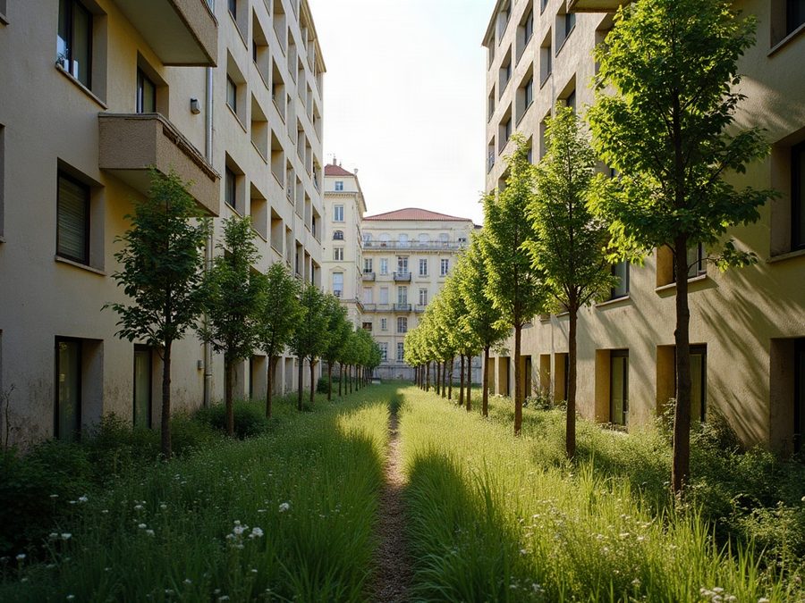
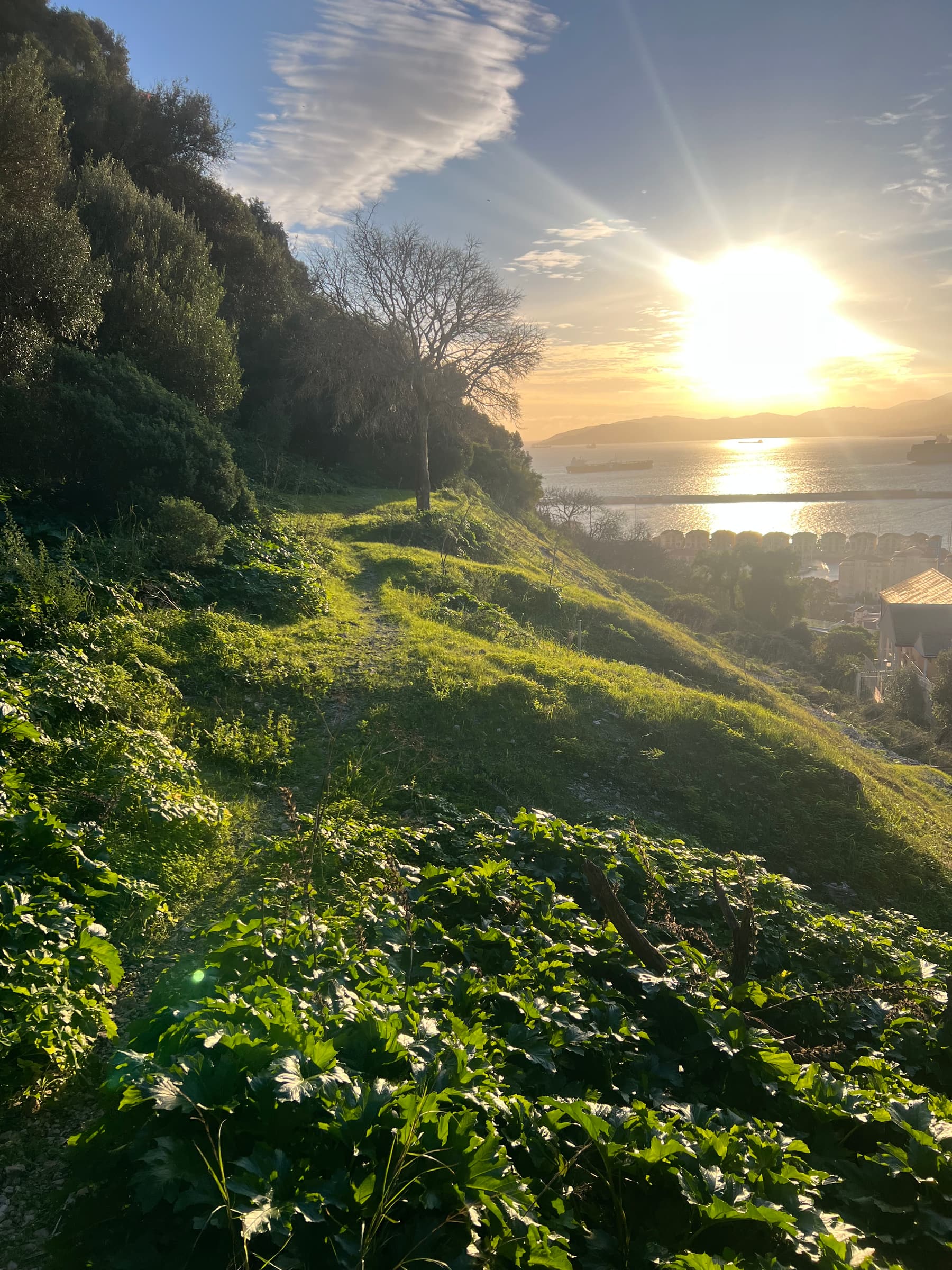
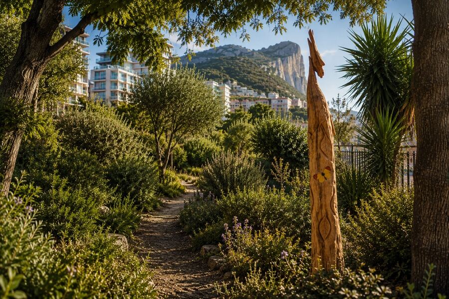
A young mini forest growing among Gibraltar's streets
Urban — Gibraltar36.14°N 5.35°W
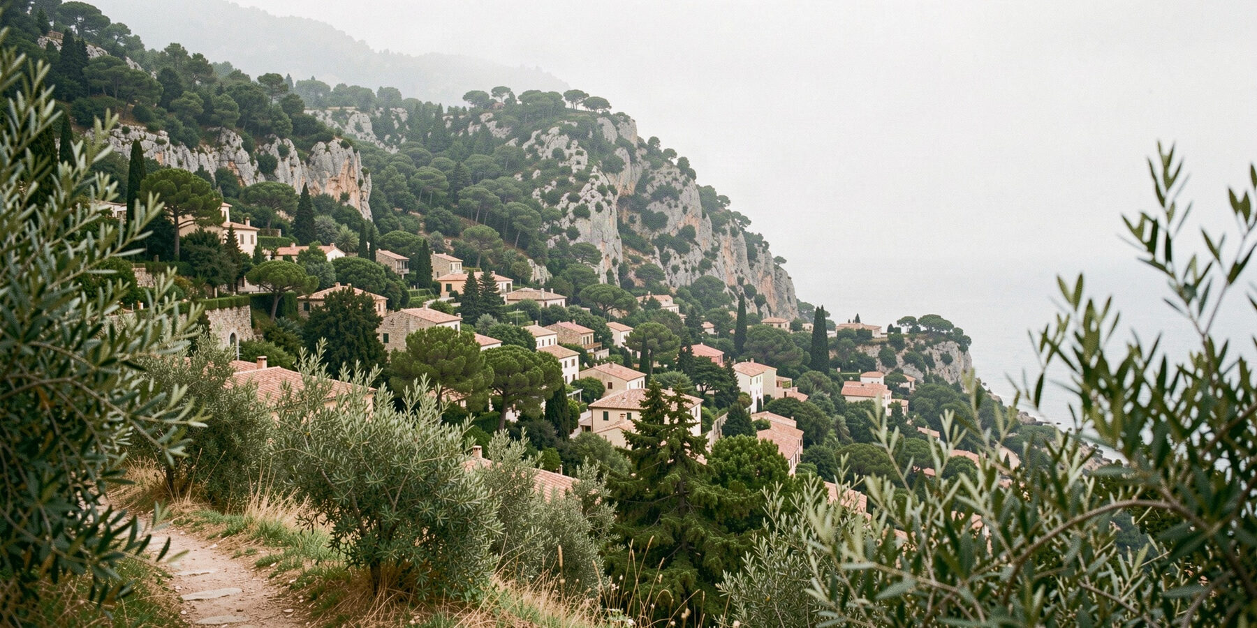
Golden cork-oak parkland rolling across southern Iberia
Wild — S. Spain & Portugal37.90°N 6.55°W

Gibraltar Urban Patch

GIBRALTAR · 36.1408°N 5.3536°W

Mini forests and community green hubs across the Rock — starting with the Landport Ditch and Moorish Castle mini forests.

1,250 trees & plants2 local projects512 supporters

Iberia Rewilding Landscape

SOUTHERN SPAIN & PORTUGAL · APPROX. 37.9°N 6.55°W

Rewilding and habitat restoration across southern Iberia — protecting species, restoring ecosystems and building climate resilience.

Match 02

South District Doñana

Pilot
Volunteers of all ages planting together in Gibraltar's South District
Urban — South District36.12°N 5.35°W
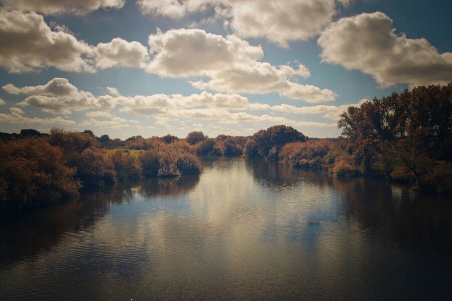
Doñana's marshes and dunes stretching to the horizon
Wild — Andalusia, Spain37.00°N 6.44°W

South District Patch

SOUTH DISTRICT, GIBRALTAR · 36.1219°N 5.3474°W

Students and families restoring nature together — hands-on planting, learning and habitat care in Gibraltar's South District.

Growing schools involvedEducation & habitat focus

Doñana National Park

ANDALUSIA, SPAIN · 37.0°N 6.44°W

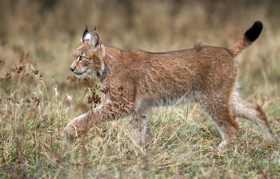
One of Europe's most important wetlands — marshes, dunes and forests sheltering the Iberian lynx and millions of migratory birds.

Match 03

River Corridor Herdade de Alagães

Pilot
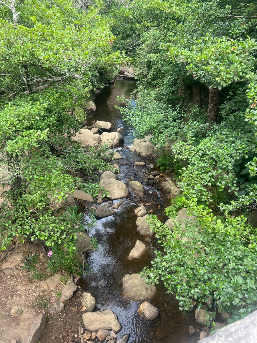
A Mediterranean stream winding through Mértola's landscape
Urban — Mértola, Portugal37.64°N 7.66°W
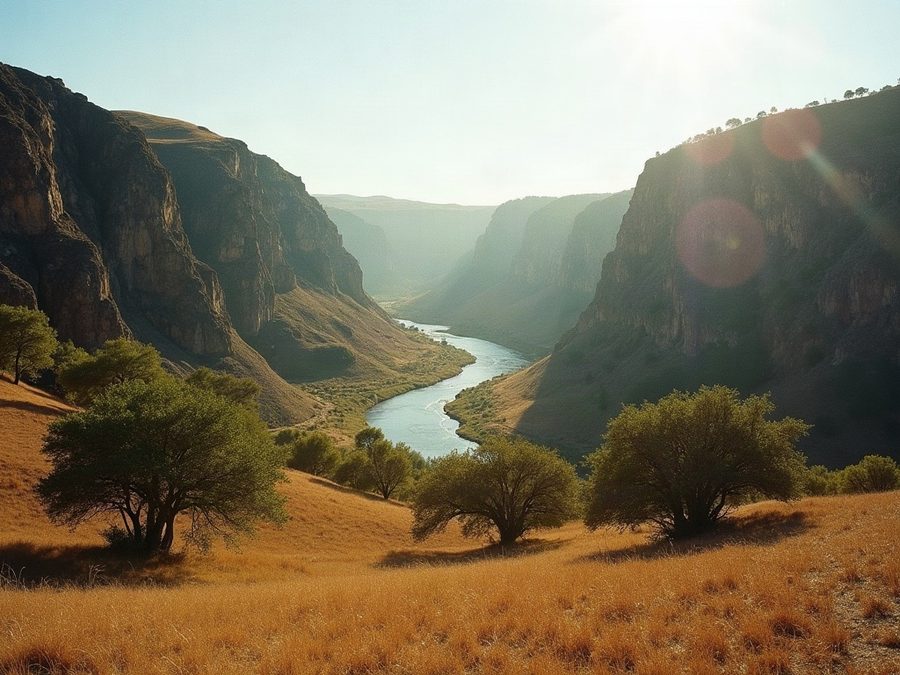
River gallery habitat recovering along the Guadiana valley
Wild — Alentejo, Portugal37.70°N 7.72°W

River Corridor Patch

MÉRTOLA, ALENTEJO · 37.6438°N 7.6604°W

Restoring native riverside habitat and wildlife corridors through Mediterranean stream landscapes.

Riparian corridors focusGuadiana valley region

Herdade de Alagães

MÉRTOLA, ALENTEJO · APPROX. 37.7°N 7.72°W

A 230-hectare rewilding estate between the Castro Verde Biosphere Reserve and the Guadiana Valley Natural Park — recovering river galleries with wild olive, willow, tamarisk and cork oak.

Match 04

Entebbe Uganda National Parks

Pilot
Community members gardening together outdoors in Entebbe
Urban — Entebbe, Uganda0.06°N 32.46°E
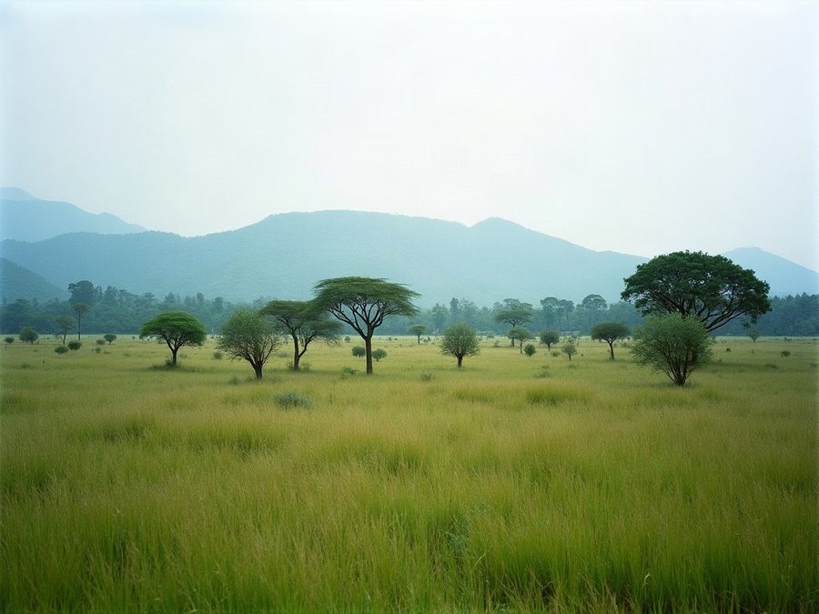
Ugandan savanna at golden hour
Wild — UgandaPartner site TBA

Entebbe Urban Patch

ENTEBBE, UGANDA · 0.0611°N 32.4633°E

Community mini forests and green hubs on the shores of Lake Victoria — growing shade, food and biodiversity where people live.

Community forests focusLake Victoria shore setting

Uganda National Parks partner

UGANDA · PARTNER SITE TO BE ANNOUNCED

Supporting habitat recovery within Uganda's national park network — the specific partner site will be announced as the pilot grows.

Match 05

Mountain Rewilding Atlantic Forest

In development
Forested hills at the urban edge of Brazil's mountain belt
Urban — São Paulo region23.55°S 46.63°W
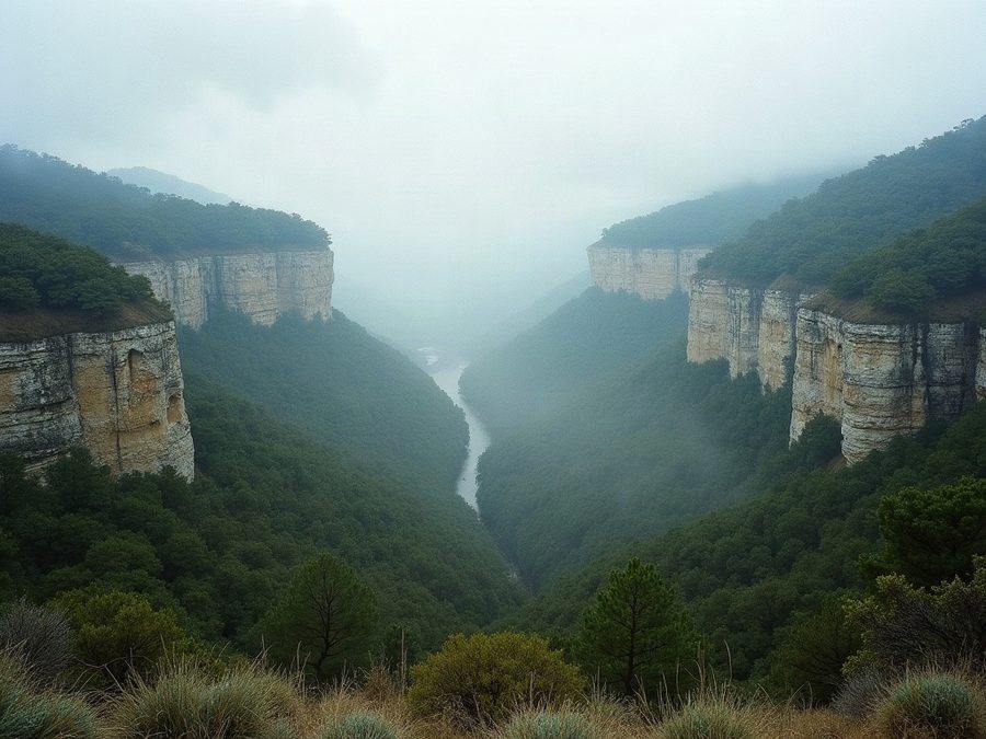
Mist rolling through the mountains of the Atlantic Forest
Wild — Serra do Mar, Brazil23.35°S 45.05°W

Mountain Rewilding Patch

SÃO PAULO REGION, BRAZIL · APPROX. 23.55°S 46.63°W

Rewilding degraded urban-edge land and supporting native species recovery in Brazil's mountain belt.

Opening for funding status

Atlantic Forest

SERRA DO MAR, BRAZIL · APPROX. 23.35°S 45.05°W

One of Earth's most threatened biodiversity hotspots — only around 12% of the original forest remains. Every hectare restored counts twice here.

Match 06

Coastal Community Mangroves

In development
Dar es Salaam's shoreline where the city meets the sea
Urban — Dar es Salaam6.79°S 39.21°E
Mangrove roots holding the Tanzanian coastline together
Wild — Tanzanian coast6.95°S 39.30°E

Coastal Community Patch

DAR ES SALAAM, TANZANIA · 6.7924°S 39.2083°E

Community-led coastal conservation in Dar es Salaam — protecting shoreline green space where the city meets the sea.

Opening for funding status

Dar es Salaam coastal mangroves

TANZANIAN COAST · APPROX. 6.95°S 39.3°E

Mangrove forests that shield the coast, store carbon and nurse fisheries — restored and protected with local communities.

Grow the network

Don't see a patch near you?

The atlas is built to scale to hundreds of matches. Help us draw the next one.

Nominate a patch